No products
 View larger
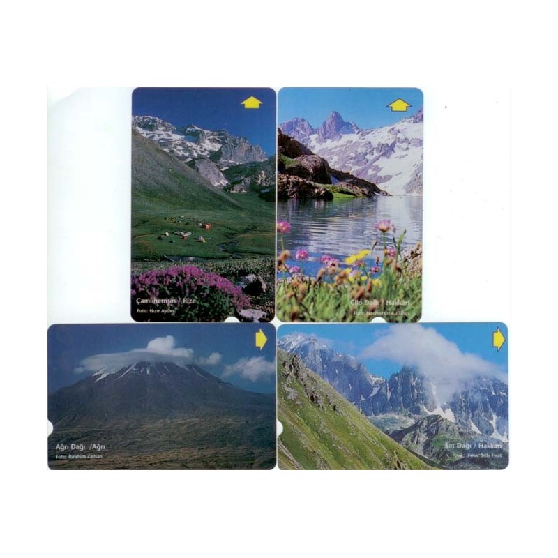
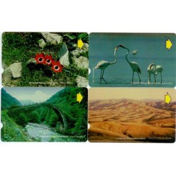
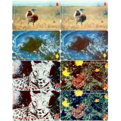
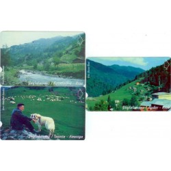
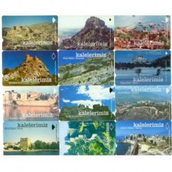
OUR MOUNTAINS PHONE CARD
PHONE0226042
New product
YEAR=NOVEMBER 1998, QUANTITY: 10.000
VALUES=30 UNITS, PRINTING=SANEM.
EMPTY AND CLEAN PHONECARDS.
More info
The Great Ağrı Mountain
Rising from the common borders of Turkey and Iran, Mt. Ağrı (Ararat) the highest mountain of Turkey and an inactive volcano capped year around with ice and snow, reaches 5137 meters. The southwest of the mountain, the Little Mt. Ağrı (Ararat) reaches up to 3896 meters. The southern face of the mountain offers the easiest and safest ascent to the summit with the best routes and communication, transportation and safety considerations. The best season for climbing is during August and September. The first ascent of the mountain is made by Frederic Parrot on 9 October 1829. The first winter ascent is made by Bozkurt Ergör on 21 February 1970. Today an official permit is required to climb Mt. Ağrı.
The Cilo-Sat Mountains
The Cilo-Sat Mountains, within the Hakkari province, are the eastern extension of Toros (Taurus) Mountain chain that stretches from the west to the east along Turkey’s southern boundaries. This range of mountains in fact forms the westernmost section of the mountain belt covering an area of 100 km in length and 40 km in width. The Sat Mountains are separated from the Cilo Mountains by a deep valley. The Cilo-Sat Mountains have several summits higher than 3000 meters. The highest summit of the Cilo Mountains is Uludoruk (Reşko) with the height of 4136 meters and that of the Sat Mountains is Çatalkaya (Samdi) with the height of 3794 meters. The best time for the summer excursions is during June, July, August and September. For winter climbing, February and March are the most suitable months. The first winter ascent is made by Muzaffer Özdemir and Kemal Çapa on 5 March 1982. Today an official permit is required to climb the mountains.
The Kaçkar Mountains
In the rainy and lush landscapes of Northern Turkey, within the Rize and Artvin provinces, the Kaçkar Mountains form the northern section of the Anatolian mountain chain. The Kaçkars rise between the eastern shores of the Black Sea to the north and the Çoruh river valley to the south. The mountain range covers an area of 90 km in length and 45 km in width, extending from the southwest to the northeast. From the east to the west respectively lie the Altıparmak, Bulut, Kavron and Varşamba Mountains. The Kaçkar- Kavron summit, at an altitude of 3932 meters, is the highest point in the range. The best time for summer excursions is during August. The southern faces of the Kaçkars receive strong sunshine and less precipitation. The first winter ascent is made by a TDF team on 9 January 1974.
30 other products in the same category:
-
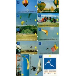
THE 1ST WORLD AIR GAMES PHONE CARD
$40
-

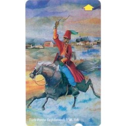
ATATÜRK PORTRAIDS PHONE CARD
$25
-
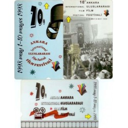
ANKARA INTERNATIONAL FILM FESTIVAL PHONE...
$8
-
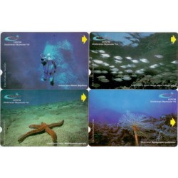
INTERNATIONAL YEAR OF THE OCEAN PHONE CARD
$9
-
5 JUNE WORLD ENVIRONMENT DAY PHONE CARD
$15
-
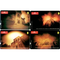
THE 158th ANNIV. OF TURKISH POST...
$3
-
THE 75th ANNIVERSARY OF THE TURKISH...
$13
-
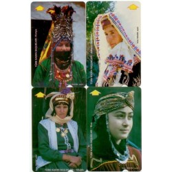
THE TURKISH WOMEN HEADDRESSES PHONE CARD
$20
-

THE TELEPHONE SETS FROM THE PAST TO THE...
$8
-

CLOCK TOWERS PHONE CARD
$6
-
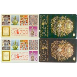
THE 700th ANNI.OF THE FOUNDATION OF...
$2
-
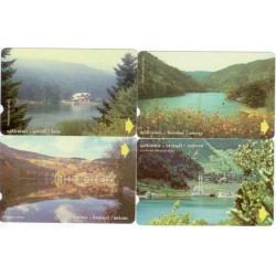
OUR LAKES PHONE CARD
$3
-
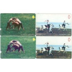
ANCESTRAL SPORTS PHONE CARD
$2
-
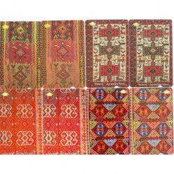
TURKISH KILIMS PHONE CARD
$5
-
ANIMALS IN EXTINCTION-1 PHONE CARD
$3
-
1999 INTERNATIONAL YEAR OF OLDER PERSONS...
$1
-
NATIONAL CONGRESS PHONE CARD
$3
-

VALENTINE'S DAY PHONE CARD
$1
-
NAWROZ PHONE CARD
$1
-
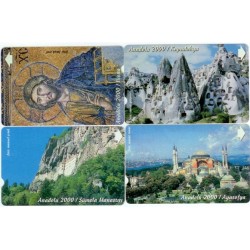
ANATOLIA 2000 PHONE CARD
$2
-
SUMMER PLACES PHONE CARD
$2
-

HOLD THE OTHER HAND-CHILD PROTECTION...
$2
-
ANIMALS IN EXTINCTION-2 PHONE CARD
$3
-
OUR PLATEAUS PHONE CARD
$2
-
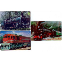
LOCOMOTIVES PHONE CARD
$3
-
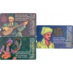
OUR FOLK POETS PHONE CARD
$3
-

THE TELEPHONE SETS FROM THE PAST TO THE...
$6
-
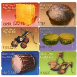
TURKISH FOLK INSTRUMENTS PHONE CARD
$4
-
THE CASTLES IN TURKEY PHONE CARD
$6
-
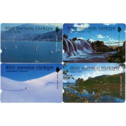
FOUR SEASONS IN TURKEY PHONE CARD
$3